
Aging energy and transport networks are increasingly vulnerable to climate change. Yet traditional inspection models can’t keep up with the growing strain caused by more extreme weather. Take just this one data point: In 2025, there were more than 23 weather and climate-related disasters in the US, causing over $1 billion in damages.
Drones – and the aerial data they provide – can be part of the solution, offering inspectors a clearer view of climate- and safety-related risks. New forms of aerial and multispectral data are allowing operators to detect heat buildup, moisture, and structural stress faster. By revealing stress points and potential hazards early, they enable preventive maintenance and make aging energy and transport networks more resilient.
Traditionally, infrastructure checks occur only after a failure or on rigid, infrequent schedules. But failures rarely come without warning. r
The problem is not a lack of data, but a lack of visibility before small risks turn into big ones. The “find and fix” mentality creates systemic risk for both capital and safety, leaving industrial assets exposed to escalating climate-related stress and operational disruption. But there is another way.
Aerial monitoring can help reduce long-term operational risk for many projects. This data-driven method supports smarter capital-allocation decisions for investors and infrastructure operators alike.
Communities bear the brunt of infrastructure failures. In my experience working with infrastructure operators and impact investors, I’ve seen firsthand how early detection of structural and environmental risks protects both community safety and capital.
Why traditional inspection models fall short
Traditional inspection models are time-consuming and dangerous, putting workers in high-risk situations, such as walking on train tracks or hanging from bridges. And in most cases, manual inspections fail to detect early-stage defects that could escalate into costly repairs later. The entire system is limited by the significant labor required and safety risks. This is a systemic failure that better tools can fix.
Traditional methods rely on manual and fragmented data collection and documentation. This approach leads to inefficient capital deployment for operators, forcing them to perform emergency repairs rather than proactive ones.
The shift toward aerial data
Multispectral imaging techniques provide detailed information, revealing heat, moisture, and surface irregularities that are invisible to the naked eye. For example, with electromagnetic sensing, inspectors can detect a dam leak or a hot spot in a transformer before it becomes a bigger problem.
The energy, construction, and land-management sectors are adopting these tools to enhance safety and resilience and to optimize preventive maintenance. Aerial monitoring cannot replace human expertise, but it can help determine when and where that expertise is applied:
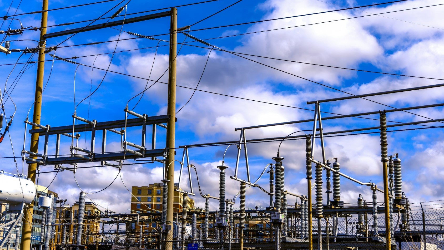
- Power infrastructure
Aerial monitoring identifies early signs of stress in transmission corridors before outages occur. Thermal anomalies along a line can indicate overload or insulation wear.
When these signals are identified early, maintenance decisions can shift from emergency response to planned intervention. This early prevention reduces workers’ risk and eliminates costly downtime.
- Construction and transport
Aerial monitoring can help construction teams assess slope stability and drainage, especially in rain-prone areas. Continuous surveys can uncover minute erosion or displacement that would not be detected during infrequent ground inspections, enabling the teams to prevent failures.
- Land and environmental management
Drone technology can reduce the ecological footprint of land management efforts and inspections. For example, instead of sending heavy machinery into delicate habitats for pipeline or boundary inspections, aerial sensors can perform the necessary measurements.
Challenges and responsible use
Conditions such as heavy rain or very dense tree cover may hinder operations, reducing the number or quality of images a flight produces. In addition, operators must adhere strictly to ever-changing airspace safety regulations and privacy laws.
In addition, aerial monitoring is an enhancement for human experts, not a substitute. The end goal is to provide the professionals with the best evidence for decision-making. This allows inspectors to focus on high-quality solutions to urgent situations rather than searching inefficiently for structural damage.
The path ahead
For infrastructure investors, the question is no longer whether climate risk is growing, but whether infrastructure assets are being monitored early enough to act on it.
Operators should ask whether inspection systems are designed to reveal emerging defects — or merely document failures after they occur. This approach could mean increasing inspection frequency, prioritizing non-invasive monitoring, and integrating early-risk data into capital and maintenance planning.
Policymakers, meanwhile, can treat inspection visibility as a critical component of climate adaptation planning, not a downstream technical detail.
As climate pressures intensify and infrastructure continues to age, the ability to see risks earlier will become a defining factor in how well our systems withstand disruption.
Aerial data represents a shift toward better, more proactive infrastructure management. By combining advanced sensing with human expertise, operators and investors can move from reacting to failures toward building systems that are safer, more reliable, and better prepared for the stresses ahead.
Patrick Maple is Chief Editor at DroneAsAService.com and an advisor in aerial data strategies.
Guest posts on ImpactAlpha represent the opinions of their authors and do not necessarily reflect the views of ImpactAlpha.